Monday, September 2, 2013

the city of Bagan (previously spelled “Pagan”) in Myanmar (previously called Burma) is an ancient city that is home to over 2,000 temples and pagodas. Many ancient kingdoms have claimed Bagan as their capital city throughout its history. The majority of Bagan’s 67 square kilometers (26 square miles) worth of buildings were constructed between 1000 CE and 1300 CE. Bagan became a thriving center for Theravada Buddhism under King Anawrahta’s rule in the early 1000s. Visitors to Bagan can enjoy a variety of accommodations, cuisine, and activities, including touring the city by car, bike, or horse-cart, enjoying local art, and taking a boat trip on the Ayeyarwady River.

http://beautifulplacestovisit.com/wp-content/uploads/2009/11/Shwezigon-Paya-Bagan-Myanmar-tall.jpgBagan, MyanmarBagan, MyanmarAnanda Temple, Bagan, Myanmarhttp://www.myanmars.net/myanmar-travel/myanmar-bagan/images/seddana-pagoda.jpgBagan, MyanmarBagan, MyanmarBagan, MyanmarShwezigon Paya, Bagan, MyanmarBagan, MyanmarGawdawpalin Temple, Bagan, MyanmarMonte Popa, Bagan, MyanmarMyazedi Pagoda, Bagan, Myanmar

Tanintharyi Region

 Tanintharyi Region lies at the southern end of Myanmar. The Region has common borders with Thailand on the east and south-east, Mon State on the north, and Andaman Sea on the west. The area of the Region is 16,735 square miles. Out of about 1,000 islands along Myanmar's coastline over 800 are in Tanintharyi coast. Dawei is the Capital of Tanintharyi Region.

Area & population

Mons, Salons, Myanmars, Karens, Paos, Tavoyans, and Pashus (Malaya) live in the ten Townships and 317 Wards and Village Tracts of Tanintharyi Region and the population is about 917,628.

Agriculture

In agricultural, the main crops are paddy, betel nut, coconut, rubber and dhani. Tapioca, rambutan, durian aClick here for a larger viewnd mangos teen are also grown on a large scale. Oil producing oil palm is being grown under a special project.

Resources

The Region is rich in natural resources. Famous mines are Heinda, Hamyingyi, Kanbauk, Yawa, Kyaukmetaung, Nanthida and Yadanabon which produce a lot of metals. Pearls cultured at the Pearl Island earn a great amount of foreign currency at the Myanma Gems Emporia. Arrangements are being made for the sea fishing industry along Tanintharyi coast to supply not only for domestic consumption but also for export. Birds' nest is also being gathered from offshore islands. This part of the country is the main fishery product market of Myanmar.

Tourism

The Myeik archipelago is inhabited by the Salone tribes, and yearly there are festivals and occasions to visits this place. Diving trips can also be arranged. Kawthaung is the southern most point of Myanmar and the border check point to enter Thailand.

A Myanmar Couple
Click here for a larger view

Tanintharyi Region


Tanintharyi Region lies at the southern end of Myanmar. The Region has common borders with Thailand on the east and south-east, Mon State on the north, and Andaman Sea on the west. The area of the Region is 16,735 square miles. Out of about 1,000 islands along Myanmar's coastline over 800 are in Tanintharyi coast. Dawei is the Capital of Tanintharyi Region.

Area & population

Mons, Salons, Myanmars, Karens, Paos, Tavoyans, and Pashus (Malaya) live in the ten Townships and 317 Wards and Village Tracts of Tanintharyi Region and the population is about 917,628.

Agriculture

In agricultural, the main crops are paddy, betel nut, coconut, rubber and dhani. Tapioca, rambutan, durian aClick here for a larger viewnd mangos teen are also grown on a large scale. Oil producing oil palm is being grown under a special project.

Resources

The Region is rich in natural resources. Famous mines are Heinda, Hamyingyi, Kanbauk, Yawa, Kyaukmetaung, Nanthida and Yadanabon which produce a lot of metals. Pearls cultured at the Pearl Island earn a great amount of foreign currency at the Myanma Gems Emporia. Arrangements are being made for the sea fishing industry along Tanintharyi coast to supply not only for domestic consumption but also for export. Birds' nest is also being gathered from offshore islands. This part of the country is the main fishery product market of Myanmar.

Tourism

The Myeik archipelago is inhabited by the Salone tribes, and yearly there are festivals and occasions to visits this place. Diving trips can also be arranged. Kawthaung is the southern most point of Myanmar and the border check point to enter Thailand.

A Myanmar Couple
Click here for a larger view

Tanintharyi Region

Tanintharyi Region lies at the southern end of Myanmar. The Region has common borders with Thailand on the east and south-east, Mon State on the north, and Andaman Sea on the west. The area of the Region is 16,735 square miles. Out of about 1,000 islands along Myanmar's coastline over 800 are in Tanintharyi coast. Dawei is the Capital of Tanintharyi Region.

Area & population

Mons, Salons, Myanmars, Karens, Paos, Tavoyans, and Pashus (Malaya) live in the ten Townships and 317 Wards and Village Tracts of Tanintharyi Region and the population is about 917,628.

Agriculture

In agricultural, the main crops are paddy, betel nut, coconut, rubber and dhani. Tapioca, rambutan, durian aClick here for a larger viewnd mangos teen are also grown on a large scale. Oil producing oil palm is being grown under a special project.

Resources

The Region is rich in natural resources. Famous mines are Heinda, Hamyingyi, Kanbauk, Yawa, Kyaukmetaung, Nanthida and Yadanabon which produce a lot of metals. Pearls cultured at the Pearl Island earn a great amount of foreign currency at the Myanma Gems Emporia. Arrangements are being made for the sea fishing industry along Tanintharyi coast to supply not only for domestic consumption but also for export. Birds' nest is also being gathered from offshore islands. This part of the country is the main fishery product market of Myanmar.

Tourism

The Myeik archipelago is inhabited by the Salone tribes, and yearly there are festivals and occasions to visits this place. Diving trips can also be arranged. Kawthaung is the southern most point of Myanmar and the border check point to enter Thailand.

A Myanmar Couple
Click here for a larger view


Magway Region

Magway Region falls in the Dry Zone of Central Myanmar, bordering Mandalay Region on the east, Sagaing Region on the north, Chin State and Rakhine State on the west and Bago Region on the south. Its area is 17,305 square miles and its Capital is Magway City.

Area & population

Myanmars, Asho-Chins and Rakhines inhabit the 25 Townships and 1,696 Wards and Village Tracts of Magway Region. The population is about 3,241,103. It is the supplier of cooking oil as sesame and groundnut crops thrive in this Region. Other crops grown are paddy, maize, cotton, pulses, Myanmar tobacco, Virginia tobacco and potatoes.

Resources

The known mineral resource of the Region is oil, it being the area where oil was first discovered and is now being extracted in large quantities. Yenangyaung Oil Field, Chauk Oil Field and Mann Oil Field in Minbu (Saku) are major oil producing areas in the country. Other products are cane, bamboo, charcoal, cutch, teak and hardwoods.

Industrial plants working according to the national plan are Thayet Cement Factory, Pakokku Cigarette Factory, Wazi Plant, Sale Fertilizer Plant, and Kyaunchaung Fertilizer Plant. Pakokku, Gangaw and Swa are well known in handicrafts industry for their hand-woven cotton fabrics.

Nearby attractions

The artery of Magway Region is the Ayeyarwaddy River. Railways and motor roads also traverse the region in addition to airfields. Magway Mya Thalun Pagoda and Minbu Shwesettaw are famous destinations of Magway Region.

A Myanmar Couple
Click here for a larger view


Sagaing Region

Sagaing Region is situated in the north-west of Myanmar between Chin State on the west, Kachin State on the north-east, Shan State on the east and Magway Region and Mandalay Region on the south. With an area of 36,535 square miles, Sagaing Region is the largest among all Region. The Capital of Sagaing Region is Sagaing.

Area & population

In the 38 Townships and 1,981 Wards and Village-Tracts live Myanmars, Kachins, Chins, Nagas, and Shans. The population is about 3,855,991.

Agriculture

Principal agricultural crops are paddy, wheat, maize, Click here for a larger viewmillet, groundnut, sesame, cotton, pulses, Burmese tobacco, and Virginia tobacco. The Region is the top producer of wheat and pulses in the whole country and also has the largest acreage of sunflower. Timber extraction work is the Region's principal industry as valuable teak forests are widespread in the Region. A copper from huge copper deposits in Sabe hill and Kyesin hill in Salingyi Township of Sagaing Region.

The Sagaing Textile Mill and Ywataung Railway Workshop are well known enterprises in Sagaing Region.

Tourism

Among the natives of the Sagaing Region, the Naga New Year Festival is usually held in January. This festival is most well-known from all over the world and many tourists come to visit the rare tribe's culture of Myanmar.

In the Sagaing Region, across the Ayeyarwaddy River are the Mingun Pahtodawgyi and the Largest Ringing bell known as Mingun Bell. The Sagaing Hill is the main place for meditation. Thanboddhay Pagoda in Monywa is another tourist destination.

A Myanmar Couple
Click here for a larger view


Ayeyarwaddy Region

 Ayeyarwaddy Region covers the deltaic coast of the Ayeyarwaddy River. on the northwest and west of this division are the Bay of Bengal and Rakhine State, on the north and east is Bago Division, on the east is the Yangon Division, and on the south is the Andaman Sea.

Area & population

The division with an area of 13,567 square miles has a population of about 4,991,057, made up of Sagaw Karens, Po Karens, Chins, Myanmars, Rakhines and Shans. It is organized in 26 Townships, 2,129 Wards and Village Tracts, with Pathein as its capital.

Resources

The division is the top paddy producer in the country as such is commonly known as the granary of Myanmar. Click here for a larger viewAgriculture is the main occupation of the people. The fertile alluvial soil of the delta region enables cultivation of paddy, groundnut, sesame, coconut, banana, jute, tobacco, chilli, onions, pulses and tapioca. The division is criss-crossed with rivers and lakes, is a major producer of fish-paste, dried fish and dried prawns. The Inyegyi Fishery is famous for its scenic beauty. In addition to fresh water fishery, the division is also engaged extensively in sea-fishing and salt-making industries.

Capital

The capital city of Ayeyarwaddy Region is Pathein, which is famous for the Pathein umbrella and Pathein Halawar (greasy rice cakes). Now the new road linking Pathein to Sagaing division (Monywa, Kale, etc.) has being developed. The road passes the plain of Magwe division between the Ayeyarwady river and the western hills of Rakhine and Chin states.

Relaxation Spots

Relaxing spots like Ngwe Saung Beach and Chaung Thar beach lies in this division. These beaches are along the coast of the Bay of Bengal. It is about only 4 hrs drive from Yangon, and easily accessible by car. Those beached are beautifully located between the sea and the lower hills of Rakhine range.
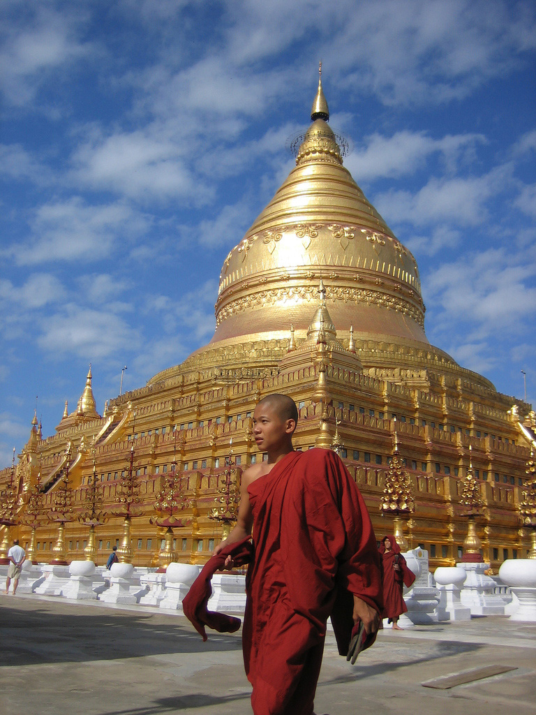
A Myanmar Couple
Click here for a larger view